World Hand Hygiene Day
Every year on World Hand Hygiene Day, we are reminded that something as simple as washing hands with soap and safe water can save lives, improve health, and create brighter futures for children around the world.
At schools where access to safe water and sanitation is limited, hand hygiene is often a challenge. Without proper facilities, children are more vulnerable to preventable diseases and missed school days. But when communities invest in hygiene infrastructure, the impact is immediate and life-changing.
A school transformed though safe water and sanitation
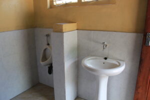
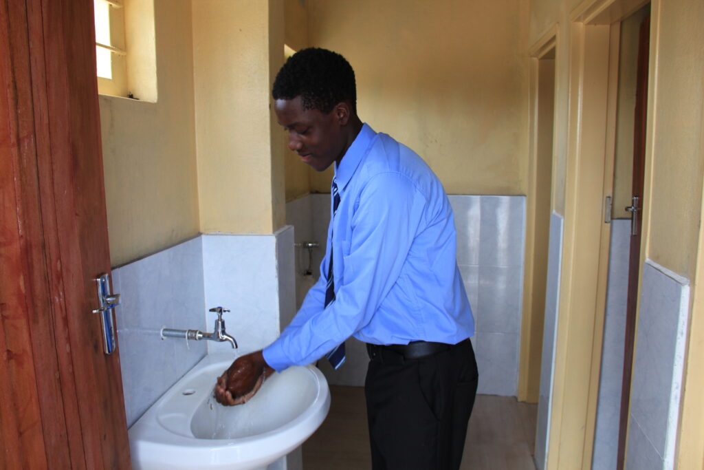
In 2024, Village Water with our local partners ECHO built new handwashing facilities and toilets at a school in Nalolo District, Zambia. Before these improvements, the school relied on non-flushable pit latrines and lacked handwashing facilities. This increased the risk of disease and made daily school life difficult for students.
Today, the school tells a very different story.
With access to proper handwashing stations:
- Cases of diarrhoea have reduced significantly, thanks to improved hygiene practices.
- Students now have access to showers at school, giving them a clean and safe space to wash. Children often arrive early from their villages to shower before classes begin. They also use the facilities after school before making their journey home.
- Girls’ absenteeism has reduced, helping more girls stay consistently in education.
- Attendance among boys has increased, showing the broad impact of improved facilities on school participation.
For many students, the journey to school is long and demanding. Some secondary school students travel up to four hours round trip each day. Having access to safe water, toilets, and showers at school provides comfort and a healthier environment for learning.
Gabriel’s story
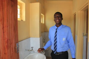
One of those students is Gabriel, a 15-year-old secondary school pupil who dreams of becoming a journalist.
Like many of his classmates, Gabriel has seen the difference that clean sanitation and hygiene facilities can make, improving health and helping students learn and thrive.
Clean hands, lasting change
On World Hand Hygiene Day, we highlight the essential role of clean hands in shaping healthier, more equitable communities.
Hand hygiene contributes to school attendance, advances girls’ education, and enables young people such as Gabriel to realise their aspirations.
By investing in water, sanitation, and hygiene, we are strengthening education systems and supporting long-term wellbeing.
Donate today to create opportunity and a brighter future for students like Gabriel https://villagewater.org/donate/